
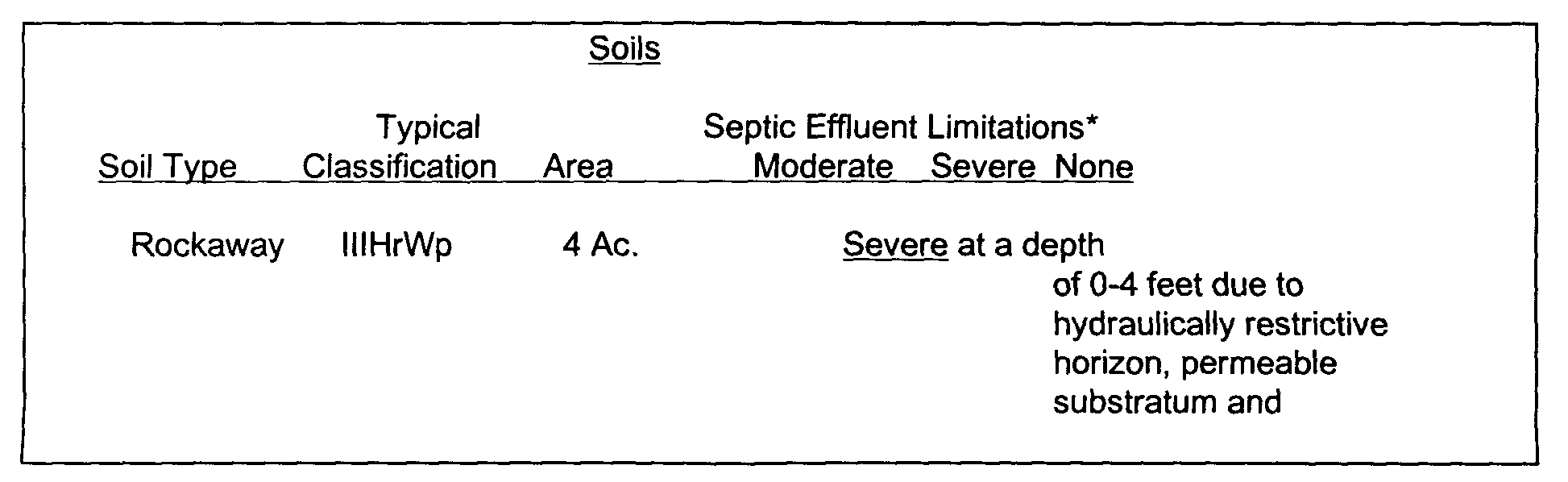
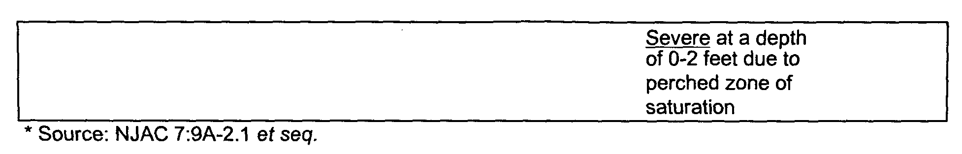
4. Soils shall be described as found on the site using the nomenclature developed by the United States Department of Agriculture. The description shall be referenced to the Morris County Soil Conservation District Standards and Specifications and the Mendham Township Natural Resources Inventory. Specific note shall be taken where the attributes of on site soils are at variance with the published data. Limitation of the on site soils for community development shall be presented in a tabular form and on a topographic map of the site depicting the Soil Conservation Service Soils Mapping for the property and identifying those soils having moderate or severe limitations for septic effluent as described in NJAC 7:9-2.1, et seq. (PL199). The tabular format is illustrated as follows:�
All soil logs performed on the site shall be included in the EIS and the location of each shall be identified and shown on the Environmental Constraints Map.�
5. Topography�
Describe and analyze slopes as set forth in Section 16-10.8 of Chapter XVI, Subdivision and Site Plan Review of the Mendham Township Land Use Ordinance.�
6. Surface hydrology shall describe all man made or naturally occurring water bodies including lakes, ponds, wetlands, springs, seeps, perennial and intermittent streams. The description shall include the area of the upslope drainage basin tributary to the water body or the site.�
7. The source of water to on-site surface water bodies, average annual flow expressed in cubic feet per second (CFS) through the site and its relationship to the major drainage basin within which it resides.�

