
Any approval of an application for a variance granted by the Zoning Board shall be subject to the following conditions being satisfied prior to the issuance of a Zoning Permit.�
a. Payment of any outstanding real estate taxes, assessments and professional fees.�
b. Publication of a notice of the decision by the Administrative Officer (Zoning Board of Adjustment Secretary) within the time set forth in Section 25-900.7.�
c. Any other conditions which may be imposed by the Planning Board or which may be required by Federal, State or local law.�
d. A condition setting forth the time within which all conditions must be satisfied as described in Section 25-900.10.�
e. Installation of or posting of performance guarantees for the installation of any improvements required by the Board. (Ord. #99-20, §8; Ord. #03-22, §2; Ord. #04-13, §9)�
Prior to issuance of a Certificate of Completeness, the Administrative Officer (Planning Board Secretary) shall determine that the following has been submitted in proper form. The Administrative Officer may schedule a preliminary plat of a major subdivision for public hearing upon submission of items contained in paragraphs a. through h.�
a. Board Engineer's and City Planner's Report.�
b. Copy of application for granting of a CAFRA Permit, where required and if submitted.�
c. Application for N.J.D.E.P. Wetlands Permit, where required.�
d. Other submittals which may be required by the Board Engineer, Planning Board, Board of Adjustment, or Federal, State or municipal law.�
e. The application for development for a preliminary plat of a major subdivision shall include a request for the granting of any variances required:�
f. Required application fees as set forth in Article 1400 of this Ordinance.�
g. One (1) original and twenty-four (24) copies of the completed application form.�
h. One (1) original and twenty-four (24) copies of a plat and attachments meeting the requirements set forth below.�
i. Proof of service of notice in .conformance with Section 25-900.7. (Ord. #94-16, Appx. A)�
a. General Requirements. All plats containing proposals or designs for drainage, streets and subdivision layouts shall be prepared by a professional engineer licensed to practice in the State of New Jersey and shall bear the address, signature, embossed seal and license number of said professional engineer. The preliminary plat shall be based on a land survey conducted not more than five (5) years prior to the date of application and certified to the subdivider and shall be drawn at a scale of not less than fifty feet (50') to the inch.�
b. Title Block. The title block shall appear on all sheets and include:�
1. "Preliminary Plat - Major Subdivision."�
2. Name of subdivision, if any�
3. Date (of original and all revisions).�
4. Name(s), signature(s), address(es) and license number(s) of the engineer and/or land surveyor who prepared the map. (The plat shall bear the embossed seal of said engineer and land surveyor).�
c. A key map (at a scale of not less than one inch (1") equals one thousand feet (1,000') showing the location of the tract to be subdivided, with reference to surrounding areas, existing streets which intersect or border the tract, the names of all such streets and any zone boundary or City boundary which is within five hundred feet (500') of the subdivision.�
d. Tax map sheet, block and lot number(s) of the tract to be subdivided as shown on the latest City tax map, the date of which shall also be shown.�
e. Names and addresses of owner and subdivider, so designated.�
**Webmasters Note: The previous sections, 25-1500.4.7.e through 25-1500.7.2.e, have been amended as per Supplement No. 2.�
f. A schedule shall be placed on the map indicating the acreage of the tract, the number of lots, the zone district, the minimum required lot areas, setbacks, yards, and dimensions.�
g. Zone district boundaries, City borders and the names of all owners, lot and block numbers and property lines of parcels within two hundred feet (200') of the land to be subdivided including properties across the street, as shown by the most recent records of the City or of the municipality of which the property is a part.�
h. The preliminary plat shall be based on a current certified boundary survey as required above with sufficient lines of the adjoining tracts surveyed to establish any overlap or gap between the adjoining boundary lines and the boundary lines of the tract in question and prepared in accordance with N.J.A.C. 13:40-5.1 "Preparation of Land Surveys". The date of the survey and the name of the person making the same shall be shown on the map.�
i. Contours.�
1. Existing one foot (1') interval contours based on National Geodetic Vertical Datum (N.G.V.D.) shall be shown extending a minimum of twenty-five feet (25') beyond the boundary of the tract in question and shall be certified. The source of elevation datum base shall be noted. If contours have been established by aerial photography, a check profile shall be made on the boundary line of the tract and certified by a New Jersey licensed land surveyor. A site bench mark shall be noted on the plat.�
2. Ninety percent (90%) of elevations interpolated from contour lines will be within one-half (1/2) the contour interval when referred to the nearest bench mark. All spot elevations shall be to the nearest one-tenth foot (.1') and accurate to within three-tenths of a foot (.3').�
3. Ninety percent (90%) of all planimetric features shown on the map will be within one-fortieth inch (1/40") of their true position and no planimetric features will be out of true position more than one-twentieth inch (1/20") as map scale when referenced to the nearest field-established station. A statement of compliance and/or a complete statement concerning any areas of noncompliance with this requirement shall be placed on the tentative plat.�
j. All existing streets, public easements, watercourses, floodways and flood hazard areas within the proposed subdivision and within one hundred feet (100') of the boundaries thereof, including the width of the right-of-way of each street within one hundred feet (100') of the subdivision.�
�
k. All existing structures, an indication of those which are to be destroyed or removed, and the front, rear, and side yard dimensions of those to remain.�
l. The boundaries, nature, extent and acreage of wooded areas and other important physical features, including dunes, marshes, wetlands and water areas within the proposed subdivision and within one hundred feet (100') thereof.�
m. The layout of the proposed subdivision drawn in compliance with the provisions of this Ordinance.�
n. All proposed public easements or rights-of-way and the purposes thereof, and proposed streets within the proposed subdivision. The proposed streets shall show the right-of-way and proposed pavement width.�
o. The existing system of drainage of the subdivision and of any larger tract of which it is a part, together with information on how it is proposed to dispose of surface drainage.�
p. The acreage of the drainage area (or areas) of each natural or man-made watercourse traversing the subdivision, including the area within the subdivision and the area upstream from the subdivision.�
q. All proposed lot lines and areas of all lots in square feet. The areas and dimensions specified should be accurate to within minus zero percent (-0%) and plus four percent (+4%) [for example, a lot line specified as two hundred fifty feet (250') long should not be less than two hundred fifty feet (250') but may be as long as two hundred sixty feet (260')].�
r. North arrow and basis therefor and written and graphic scales.�
s. Preliminary utility layouts showing methods of connection and sources of service. Prior to public hearing for preliminary subdivision plat, the developer shall provide written certification that he has contacted the involved servicing utility companies and has received their detailed specific installation standards. It will be the developer's responsibility to then integrate the various design standards and achieve optimum coordinated design.�
t. The proposed location and area, in acres or square feet, of all proposed common open space areas.�
u. The tentative plat shall show, on the property to be subdivided and within one hundred feet (100') of that property all existing paper streets, dirt roads, paved streets, curbs, manholes, sewer lines, water and gas pipes, utility poles, ponds, swamps and all other topographical features of a physical or engineering nature.�
1. The preliminary plat shall show or be accompanied by a preliminary grading and drainage plan which shall show locations of all existing and proposed drainage swales and channels, retention-recharge basins, the scheme of surface drainage and other items pertinent to drainage including the approximate proposed grading contours at one foot (1') intervals, Datum shall be N.G.V.D. and the source of datum shall be noted.�
2. The plan shall outline the approximate area contributing to each inlet.�
3. All proposed drainage shall be shown with preliminary pipe type and sizes, invert elevations, grades, and direction of flow, the direction of flow of all surface waters and all water courses shall be shown.�
4. The preliminary grading and drainage plan shall be accompanied by drainage calculations made in accordance with standards set forth in Sections 25-1700.33-25-1700.33.8 of this Ordinance.�
5. Preliminary plans and profiles of streets shall be shown indicating storm drains and utilities including any drainage components not presented in the street profiles.�
w. Preliminary Off-Site Drainage Plan. The preliminary plat shall also be accompanied by a preliminary off-site drainage plan prepared in accordance with the following standards:�
1. The plan shall consist of an outline of the entire drainage basin in which the property to be subdivided is located. The terminus of the basin and existing ground contours or other basis for determining basin limits shall be shown.�
2. Pertinent off-site existing drainage, which receives or discharges runoff from or onto the site, shall be shown with elevations of inverts, pipe types, and sizes or other appropriate physical data for open or nonpipe conduits.�
3. To the extent that information is available and may be obtained from the County or City Engineer(s). Any existing plans for drainage improvements shall be shown.�
4. In the event a temporary drainage system is proposed, tentative plans of that system shall be shown.�
x. Soils Engineers Report. A preliminary Soils Engineers Report shall be prepared by a N.J. Professional Engineer. The number of borings, depths, and boring locations shall be as specified by the Soils Engineer and approved by the Board Engineer. The Preliminary Soils Engineers Report shall include:�
1. Standard Penetration Resistance boring data to a depth of stable soil conditions.�
2. Sufficient laboratory testing to determine preliminary consolidation and settlement information.�
3. Preliminary recommendations to include bulkhead design, utility installation and stabilization, soil consolidation methods, preliminary road and pavement design, and such other information as may be required by the Board Engineer.�
4. The Preliminary Report shall be the basis for further borings, laboratory testing, and a Final Report shall accompany the final plat, if required by the Board Engineer.�
y. The location, dimensions, area and disposition of any park and recreation areas shall be shown and noted on the preliminary plat and shall be subject to the approval of the Planning Board.�
z. Center line profiles of all proposed streets showing:�
1. Existing and proposed finished grades and slopes.�
2. Pipe sizes, slope, type, inverts, and grate or rim elevations of drainage and sanitary sewage facilities. �
aa. Where required by the City Engineer, cross-section of proposed streets to at least ten feet (10') outside of any grading limit at intervals of at least every one hundred feet of all proposed streets. �
bb. The number, location, and species of all proposed trees, shrubs, and/or ground cover plant materials and planting details of same. �
cc. The tops of the banks and boundaries of the floodways and flood hazard areas of all existing watercourses, where such have been delineated or the limits of alluvial soils where boundaries of floodways and flood hazard areas have not been determined, and/or such other information as may assist the Board in the determination of floodway and flood hazard area limits. �
dd. Sectionalization and Staging Plans. The preliminary sectionalization and staging plan showing the following:�
1. If the subdivision is proposed to be filed for final approval in sections, the plan shall show each such section and the anticipated date of filing for each section. The staging of the various sections in the subdivision shall be such that if development of the subdivision were to be discontinued after the completion of any section, the developed portion of the subdivision would be provided with adequate street drainage and utility systems. The size and staging of the section in a subdivision shall be established to promote orderly development and shall be subject to the approval of the Board.�
2. The sectionalization and staging plan shall identify for each lot or groups of lots in the subdivision those improvements that will be completed prior to application for Certificates of Occupancy. The plan should demonstrate that the staging of construction will minimize adverse effects upon occupied buildings in the subdivision and adjoining properties. �
ee. The location of proposed depressed pedestrian ramps and other facilities for the handicapped. �
ff. Such other information as the Board and/or City Engineer may require or request during the review of the preliminary plat. �
�
gg. Floor plan and elevation drawings of any proposed structure or structures depicting architectural details, fenestration and building materials. (Ord. #03-22, §2)�
Any approval of an application for development for a preliminary plat of a major subdivision by the Planning Board or Board of Adjustment shall be subject to the following conditions being satisfied prior to the signing of the plat:�
a. Submission of additional prints of the plat and attachments for distribution (if required).�
b. Preliminary Cape May County Planning Board approval (if not previously granted).�
c. Preliminary New Jersey Water Company - Shore District Sewerage Service availability letter.�
d. Publication of the decision of the Board by the Administrative Officer (Planning Board or Board of Adjustment Secretary) within the time set forth in Section 25-900.8.�
e. Any other conditions which may be imposed by the Board or may be required by Federal, State, County or municipal law.�
f. A condition setting forth the time within which all conditions must be satisfied as described in Section 25-900.10.�
The Board may also condition its preliminary approval upon the applicant providing for certain revisions or additions on the final plat submission.�
In the event that the application for development for a preliminary plat of a major subdivision is approved, a certificate to that effect in this form:�
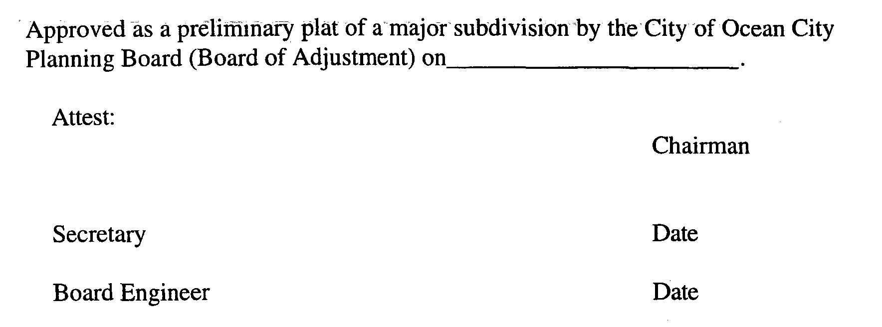
shall be endorsed on the preliminary plat and three (3) paper copies thereof, said copies shall be provided to the Board by the applicant: Said original shall be signed by the Chairman and Secretary of the Board after they receive certification from the. Administrative Officer (Planning Board Secretary) that all conditions of approval have been satisfied. After signature, one copy of the signed preliminary plat shall be returned to the applicant.�
Upon submission of a complete application to the Administrative Officer (Planning Board Secretary) for a subdivision of ten (10) or fewer lots, the Planning Board shall grant or deny preliminary approval within forty-five (45) days of the date of such submission or within such further time as may be consented to by the developer. Upon submission of a complete application to the Administrative Officer (Planning Board Secretary) for a subdivision of more than ten (10) lots, the Planning Board shall grant or deny preliminary approval within ninety-five (95) days of the date of such submission or within such further time as may be consented to by the developer. Otherwise, the Planning Board shall be deemed to have granted preliminary approval of the major subdivision.�
Approval of a preliminary plat shall confer upon the applicant the rights set forth in N.J.S.A. 40:55D-49 and Section 25-1500.7.6 of this Ordinance.�
Preliminary approval of a major subdivision or of a site plan shall, except as otherwise provided herein, confer upon the applicant the following rights for a three (3) year period from the date of the preliminary approval:�
a. That the general terms and conditions on which preliminary approval was granted shall not be changed, including but not limited to use requirements; layouts and design standards for streets, curbs and sidewalks, and in the case of a site plan, any requirements peculiar to site plan approval pursuant to N.J.S.A. 40:55D-41; except that nothing herein shall be construed to prevent the City from modifying by ordinance such general terms and conditions of preliminary approval as relate to public health and safety;�
b. That the applicant may submit for final approval on or before the expiration date of preliminary approval the whole or a section or sections of the preliminary subdivision plat or site plan; as the case may be; and�
c. That the applicant apply for and the Planning Board may grant extensions on such preliminary approval for additional periods of at least one (1) year, but not to exceed a total extension of two (2) years, provided that if the design standards have been revised by ordinance, such revised standards shall govern. (Ord. #03-22, §2)�

