
Approvals of all applications for development shall not be valid until all the following have taken place:
a. The Administrative Officer (Planning Board or Board of Adjustment Secretary) shall certify that all conditions of approval have been satisfied.
b. In the case of applications for development for subdivisions, the applicant shall submit two (2) reproducible mylar copies and one (1) linen copy of the plat for signature of the Chairman, Board Engineer and Secretary of the Planning Board or Board of Adjustment. One (1) mylar copy shall be kept by the City Engineer.
c. The applicant shall provide six (6) copies of the plat and attachments: After signature, the Administrative Officer shall have the original and all copies signed and shall return the reproducible original of the plat and attachments to the applicant. One (1) copy shall be retained in the files of the Administrative Officer, two (2) copies shall be retained in the files of the City Engineer, one (1) copy shall be retained in the files of the Construction Official, and one (1) copy to the applicant.
d. After signature and reproduction the Administrative Officer shall return the reproducible original of the plat and attachments to the applicant.
e. For all applications for development that receive minor or final plat approval, the Administrative Officer shall issue a Zoning Permit after the plat has been signed. The date of the Zoning Permit shall be the date upon which the approval of applications for development related to preliminary plats become valid shall be the date on which the plat is signed by the Chairman and Secretary of the Planning Board or Board of Adjustment. However, the period of time for which certain rights are conferred upon the applicant shall commence on the date which the Planning Board or Board of Adjustment granted the approval. (Ord. #99-20, �8)
The Planning Board may, upon specific written request of an applicant, consider and approve or deny requests for waiver of submission requirements or for any of the specific plat detail requirements as set forth in this Article. All such requests by an applicant shall cite the specific requirement by section number and shall state the specific reason for request of waiver. An application which either meets all submission and detail requirements will be considered complete. If a request for waiver is denied, the applicant must provide the required submissions. Such detailed submissions will be reviewed as provided for new applications and all time limits will recommence as for new applications.
Prior to issuance of a Certificate of Completeness or scheduling of a minor subdivision for public hearing, the Administrative Officer (Planning Board or Board of Adjustment Secretary) shall determine that the following have been submitted in proper form:
a. A Certificate of Title, which may be on the plat (signed by the owner and notarized) or in a letter form, signed by a member of the New Jersey Bar, by a title officer or authorized agent of a title insurance company licensed to do business in the State of New Jersey, which certificate shall confirm that the owner of the premises in question is the owner as shown on the plat.
b. Board Engineer's and City Planner's report.
c. Application for State wetlands approval, where required.
d. Other submittals that may be required by the Board Engineer, Planning Board or Board of Adjustment, or by Federal, State, County or municipal law, including but not limited to a traffic report and EIS.
e. The application for development for a minor subdivision or minor site plan shall include a request for the granting of any variances required.
f. Required application fees as set forth in Article 1400 of this Ordinance.
g. One (1) original and twenty-four (24) copies of a completed application form.
h. Proof of service of notice in conformance with Section 25-900.7.
i. One (1) original and twenty-four (24) copies of a plat and attachments meeting the requirements set forth below. (Ord. #94-16, Appx. A)
a. General Requirements. The plat for a minor subdivision shall be drawn at a scale of not less than twenty feet (20') to the inch, shall conform to the provisions of the New Jersey Map Filing Law, N.J.S.A. 46:23-9.9 et seq, and shall include or be accompanied by the information specified below:
1. All dimensions both linear and angular, of the exterior boundaries of the subdivision, all lots and lands reserved or dedicated for public use shall balance and their descriptions shall close within a limit of error of not more than one (1) part in ten thousand (10,000).
2. The minor subdivision shall be based upon a current boundary survey prepared in accordance with N.J.A.C. 13:40-5.1, Preparation of Land Surveys, certified to the subdivider and prepared or recertified not more than twelve (12) months prior to the date of application.
3. All topographical data on-site and within twenty five feet Contours shall be shown at one foot (1') intervals throughout.
b. Title Block. A title block shall appear on all sheets and include:
1. Title to read "Minor Subdivision."
2. Name of the subdivision, if any.
3. Date (of original and all revisions).
4. Name, signature, address and license number of the land surveyor who prepared the map and made the survey (the plat shall bear the embossed seal of said land surveyor).
c. Detailed Information.
1. A key map (at a scale of not less than one inch (1") equals one thousand feet (1,000') showing the location of the tract to be subdivided with reference to surrounding areas, existing streets which intersect or border the tract, the names of all such streets and any zone district boundaries and City boundary which is within five hundred feet (500') of the subdivision.
2. The names of all owners of and property lines of parcels within two hundred feet (200') of the land to be subdivided as shown by the most recent records of the City.
3. Tax map sheet, block and lot number(s) of the tract to be subdivided as shown on the latest City Tax Map, the date of which shall also be shown.
4. Acreage of the tract being subdivided to the nearest hundredth of an acre.
5. Names and addresses of owner and subdivider so designated.
6. All zone district boundaries, City borders, existing public easements, tax map lot and block numbers, watercourses, floodways and flood hazard areas within two hundred feet (200'), and the width of the right-of-way of each street within two hundred feet (200') of the subdivision.
7. All existing structures, with an indication of those which are to be destroyed or removed, and the front, rear and side yard dimensions of those to remain, referenced to proposed lot lines.
8. All proposed public easements or right-of-ways and the purposes thereof.
9. The existing systems of drainage of the subdivision and of any larger tract of which it is a part, together with information on how it is proposed to dispose of surface drainage (where required by the Board or City Engineer).
10. All proposed lot lines and the areas of all lots in square feet. The areas and dimensions specified shall be shown to the nearest hundredth of a square foot or hundredth of a linear foot.
11. North arrow.
12. Written and graphic scales.
13. A copy of any existing or proposed covenants or deed restrictions applying to the land being subdivided or certification that none exists. Such certification may be in letter form signed by a member of the New Jersey Bar, by a title officer or authorized agent of a title insurance company licensed to do business in New Jersey. ,
14. Proposed lot and block numbers as assigned by the City Tax Assessor in accordance with the digitized lot numbering system specifications promulgated by the New Jersey Division of Taxation.
15. Such other information as the Board and/or City Engineer may require or request during the review of the application for classification and approval as a minor subdivision.
16. In those instances where the minor subdivision application requires variance approval pursuant to N.J.S.A. 40:55D-70c, floor plans, elevation drawings and plot plans for each lot and structure depicting building and yard dimensions, architectural details, fenestration and building materials. (Ord. #04-13, �9)
a. By the Planning Board.
1. Referral to Committee: Each complete application for development for a minor subdivision shall be referred to the Planning Board Workshop. The Planning Board Workshop, in accordance with the definition of a minor subdivision shall either approve the application for classification and approval as a minor subdivision or refer the subdivision to the full Planning Board for hearing and consideration. If the Planning Board Workshop approves the application, no further municipal action will be required.
2. Action by Committee: In order to be approved and classified as a minor subdivision by the Planning Board Workshop, the vote of the Committee must be unanimous. Applications for development for minor subdivision shall be referred to the full Planning Board for public hearing and vote in all of the following instances:
(a) The vote of the Planning Board Workshop is not unanimous.
(b) Unfavorable recommendation from the Planning Board Engineer.
(c) The subdivision also requires the granting of a variance or variances.
(d) The application for development also requests approval of a major site plan, conditional use and/or direction or issuance of a Building Permit.
3. Action by Planning Board:
(a) The action taken by the Planning Board Workshop shall be announced at a public meeting of the Planning Board.
(b) If an application is referred to the full Board by the Planning Board Workshop, the Board will take action within forty-five (45) days of the date of submission of a complete application. Any referrals by the Planning Board Workshop will be made in a timely manner so that the Board can take action within the time allowed.
b. By the Zoning Board of Adjustment. If an application for classification and approval as a minor subdivision is before the Board of Adjustment, it may be classified and approved as a minor subdivision by a majority vote of a quorum of the board, with or without conditions. (If such action is simultaneous with action on a variance pursuant to Section 25-800.3.c. of the Zoning Ordinance or N.J.S.A. 40:55D-70,d an affirmative vote of at least two-thirds (2/3) of the full authorized membership of the Board is required).
c. Time Limits for Minor Subdivision Approvals. Minor subdivision approvals shall be granted or denied within forty-five (45) days of the date of submission of a complete application to the Administrative Officer or within such further time as may be consented to by the applicant. Approval of a minor subdivision shall expire one hundred ninety (190) days from the date of Planning Board approval unless within such period a plat in conformity with such approval and the provisions of the "Map Filing Law," or a deed clearly describing the approved minor subdivision, is filed by the developer with the County Recording Officer, the City Engineer and the Tax Assessor. Any such plat or deed must be signed by the Chairman and Secretary of the Planning Board before it will be accepted for filing by the County Recording Officer.
Any approval of an application for development for a minor subdivision granted by the Planning Board or Board of Adjustment shall be subjected to the following conditions being satisfied prior to signing of the plat or issuance of a Zoning Permit:
a. Installation of or posting of performance guarantees for the installation of any improvements required by the Board.
b. Payment of any outstanding real estate taxes.
c. Cape May County Planning Board approval if the site is located on the County road system.
d. New Jersey Water Company - Shore District Sewerage Service availability letter.
e. Submission of additional prints of the plat map and attachments for distribution (if required).
f. Publication of a notice of the decision of the Board by the Administrative Officer (Planning Board Secretary or Board of Adjustment Secretary) within the time set forth in Section 25-900.8.
g. Any other conditions which may be imposed by the Board or which may be required by Federal, State or municipal law.
h. A condition setting forth the time within which all conditions must be satisfied as described in Section 25-900.10. (Ord. #99-20, �8)
In the event that the application for development for a minor subdivision is approved, a certification to that effect in this form:
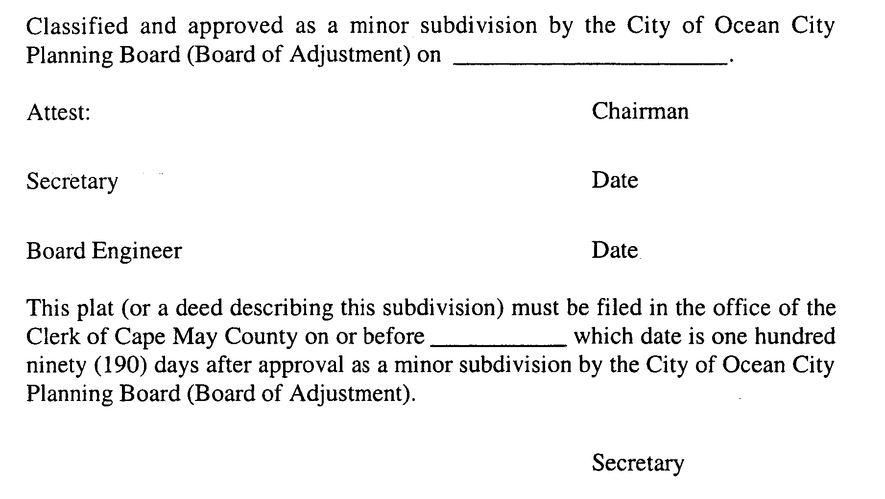
shall be endorsed on the preliminary plat and three (3) paper copies thereof shall be provided to the Board by the applicant. Said copies shall be signed by the Chairman and Secretary of the Planning Board after they receive certification from the Administrative Officer (Planning Board or Board of Adjustment Secretary) that all conditions of approval have been satisfied. After signature, one (1) copy of the signed preliminary plat shall be returned to the applicant.
Prior to issuance of a Certificate of Completeness for a variance application to the Zoning Board of Adjustment, the Administrative Officer (Zoning Board of Adjustment Secretary) shall determine that the following have been submitted in proper form. The Administrative Officer may schedule a variance application for public hearing upon submission of items in paragraphs a. through j. of this subsection, and subsection 25- 1500.6.2.
a. One (1) original and twenty (20) copies of the completed application form.
b. One (1) original and twenty (20) copies of a plat and attachments meeting the requirements set forth below.
c. Required application fees as set forth in Chapter XXX of the City Code.
d. Copy of application for a CAFRA Permit, where required.
e. Copy of application for N.J.D.E.P. Wetlands Permit, where required.
f. A current survey (not older than one (1) year), signed and sealed by a New Jersey licensed surveyor.
g. Other submittals which may be required by the Board's professionals, Board of Adjustment, Federal, State or municipal law.
h. Written description and justification for all checklist waivers, design waivers and variances requested.
i. Proof of service of notice in conformance with Section 25-900.7.
j. Proof from the Tax Collector that real estate taxes and local assessments have been paid to date. (Ord. #94-16, Appx. A; Ord. #03-22, �2; Ord. #04-13, �9)
a. General Requirements. The plan for a variance shall be drawn at a scale of not less than twenty feet (20') to the inch, with North oriented to the top of the page, shall conform to the provisions of the New Jersey Map Filing Law, N.J.S.A. 46:23-9.9 et seq., and shall include or be accompanied by the information specified below:
1. The variance plan shall be based upon a current boundary survey prepared in accordance with N.J.A.C. 13:40-5.1, Preparation of Land Surveys, certified to the owner and prepared or recertified not more than twelve (12) months prior to the date of application.
2. Spot elevations at all four (4) corners of the subject parcel (oceanfront parcels required two (2) additional spot elevations, one (1) at midpoint on each of the two (2) side lot lines).
b. Title Block. A title block shall appear on all sheets and include:
1. Title to read "Variance Plan."
3. Street address.
5. Date (of original and all revisions).
6. Name, signature, address and license number of the professional who prepared the plan.
c. Detailed Information.
1. A key map (at a scale of not less than one inch (1") equals one thousand feet (1,000') with North oriented to top of the page, showing the location of the subject parcel with reference to surrounding areas, existing streets which intersect or border the parcel, the names of all such streets and any zone district boundaries and City boundary which is within five hundred feet (500') of the subject parcel.
2. The names and addresses of all owners, and property classifications of all parcels within two hundred feet (200') of the subject parcel as shown by the most recent records of the City.
3. A portion of the current Ocean City Zoning Map showing the subject parcel and zone district boundaries, existing easements, watercourses, floodways and flood hazard areas within two hundred feet (200'), and the width of the right-of-way of each street within two hundred feet (200') of the subject parcel.
4. A zoning schedule showing all zoning requirements applicable to the parcel in question, existing conditions, proposed conditions and extent of applicant's compliance with the zoning requirements.
5. All existing structures, with an indication of those which are to be removed, and the front, rear and side yard dimensions of those to remain, referenced to existing lot lines.
6. All proposed private and public easements or rights-of-way and the purposes thereof.
7. North arrow.
8. Written and graphic scales.
9. All required endorsements or certifications and space for the appropriate signatures.
10. A copy of any existing or proposed covenants or deed restrictions applying to the land being subdivided or certification that none exists. Such certification may be in letter form signed by a member of the New Jersey Bar, by a title officer or authorized agent of a title insurance company licensed to do business in New Jersey.
11. Such other information as the Board Engineer and/or Planner may require or request during their review of the application. (Ord. #03-22, �2; Ord. #04-13, �9)

