A. Required documents. Prior to issuance of a certificate of completeness, the Planning Board Site Plan Committee or Board of Adjustment Site Plan Committee shall determine that the following have submitted in proper form. The administrative officer may schedule a minor site plan for consideration by the municipal agency upon submission of the items in Subsection A(1) through (8):
(1) The Borough Engineer's report.
(2) A copy of the application for granting of a CAFRA permit, where required and if submitted.
(3) An application for a state wetlands permit, where required.
(4) Other submittals that may be required by the Planning Board or federal, state or municipal law.
(5) The application for development for a minor site plan shall include a request for the granting of any variances required or other approvals required from the municipal agency.
(6) Required application fees as set forth in § 94-3.14 of this chapter.
(7) Thirty-three (33) copies of a plat and attachments meeting the requirements set forth below. [Amended 12-13-1993 by Ord. No. 670]
(8) thirty-three (33) copies of a completed application form. [Amended 12-13-1993 by Ord. No. 670]
(9) Proof of service of notice in conformance with § 94-3.3D of this chapter.
B. Plan requirements. The plan shall include:
(1) General requirements.
(a) Any minor site plan presented to the municipal agency for its approval shall be drawn, signed and appropriately sealed by an architect, professional engineer, land surveyor and/or a professional planner licensed to practice in the State of New Jersey. [Amended 12-13-1993 by Ord. No. 670]
(b) Site plans shall not be drawn at a scale smaller than one (1) inch equals thirty (30) feet nor larger than one (1) inch equals ten (10) feet. If the size of the site would require the use of sheets larger than thirty by forty-two (30 x 42) inches in order to show the entire site on one (1) sheet, the detailed information for the site plan shall be shown in sections not larger than thirty by forty-two (30 x 42) inches, which sheets shall be keyed to an overall plan of the site drawn at a scale of not less than one (1) inch equals two hundred (200) feet. [Amended 12-13-1993 by Ord. No. 670]
(c) The site plan shall be based on a current, certified boundary survey prepared in accordance with N.J.A.C. 13:40-5.1, Preparation of Land Surveys. The date of the survey and the name, signature and license number of the professional land surveyor making the same shall be shown on the map.
(2) Title block. The title block shall appear on all sheets and include:
(a) The title of "Minor site plan."
(b) The name of the development, if any.
(c) The Tax Map sheet, block and lot number of the site, as shown on the latest Tax Map, the date of which should also be shown.
(d) The date of the original and all revisions.
(e) The names and addresses of the owner and developer so designated.
(f) The name(s), signature(s), address(es) and land surveyor or planner who prepared the plat and his/her embossed seal(s).
(g) If the site plan contains more than one (1) sheet, each sheet shall be numbered and titled.
(3) A schedule shall be placed on the site plan indicating:
(a) The area of the tract and site (the portion of the tract involved in the site plan).
(b) The floor area of the existing and proposed building, listed separately.
(c) The proposed use or uses and the floor area devoted to each use.
(e) Proposed and required lot dimensions and front, rear and side setbacks.
(f) Provided and required off-street parking spaces.
(g) Square footage and percentage of the site retained in unoccupied open space.
(4) The North arrow and written and graphic scales.
(5) Sufficient spot elevations (United States Coast and Geodetic Survey datum) and/or contour lines to indicate the proposed system of surface drainage and the relationship of proposed grading to the land surrounding the site.
(6) The tops of the banks and boundaries of the floodways and flood hazard areas of all existing watercourses, where such have been delineated, or the limits of alluvial soils, where the boundaries of floodways and flood hazard areas have not been determined, and/or such other information as may assist the Planning Board in the determination of floodway and flood hazard area limits.
(7) Paving and right-of-way widths of existing streets within two hundred (200) feet of the site.
(8) The boundary, nature and extent of the wooded areas, swamps, bogs and ponds within the site and within two hundred (200) feet thereof. Any specimen trees twelve (12) inches or larger on the site as measured at four (4) feet above the base shall be located and identified by species name.
(9) A key map [at a scale of not less than one (1) inch equals one thousand (1,000) feet] showing the location of the site, with reference to surrounding areas, existing streets, the names of all such streets and any zone district boundaries or borough boundaries which are within five hundred (500) feet of the subdivision.
(10) The following shall also be required unless the administrative officer determines that they are not necessary to provide a full understanding of the application:
(a) Existing, at the point of connection and all proposed, manholes, sewer lines, waterlines, fire hydrants, utility poles and all other topographical features of a physical or engineering nature within the site and within fifty (50) feet thereof
(b) All existing structures on the site and within fifty (50) feet thereof, including their use thereof and indicating those to be destroyed or removed and those to remain.
(c) The location, use, finished grade level, ground coverage, first floor and basement elevations, front, rear and side setbacks of all buildings and other pertinent improvements.
(d) Existing and proposed public easements or rights-of-way and the purposes thereof.
(el) Zone district boundaries and Tax Map sheet, lot and block numbers and the names of owners of all properties across any street from or within fifty (50) feet of the site.
(f) The capacity of off-street parking areas and the location and dimensions of all access drives, aisles and parking stalls.
(g) The location and size of proposed loading docks.
(h) The location of curbs and sidewalks.
(i) Cross section(s) showing the composition of pavement areas, curbs and sidewalks.
(j) An exterior lighting plan, including the location, direction of illumination, amount of illumination expressed in horizontal footcandles, wattage and drawn details of all outdoor lighting standards and fixtures.
(k) A landscaping and screening plan showing the location, type, spacing and number of each type of tree or shrub and the location, type and amount of each type of ground cover to be utilized and planting details for trees, shrubs and/or , ground cover.
(l) The location of signs and drawn details showing the size, nature of construction, height and content of all signs.
(m) Drawn details of the type of screening to be utilized for refuse storage areas, outdoor equipment and bulk storage areas.
(n) Floor plans and building elevation drawings of any proposed structure or structures or existing structures to be renovated.
(o) A written description of the proposed operations in sufficient detail to indicate the effects of the use in producing traffic congestion, noise, glare, air pollution, fire hazards or safety hazards; and the written description of the use, the number of shifts to be worked, the number of employees in each shift, the number of vehicles to be stored or parked on the site and provisions to be made for site maintenance.
(11) Such other information as the municipal agency and/or the Borough Engineer may request during site plan review.
C. Conditions of approval. Any approval of an application for development for a minor site plan granted by the municipal agency shall be subject to the following conditions being satisfied prior to the signing of the site plan or issuance of a development permit:
(1) Installation and approval or posting of performance guaranties for the installation of those improvements which are necessary to protect adjacent property and public interest in the event development of the site was not completed.
(2) Payment of any outstanding real estate taxes and property improvement assessments.
(3) Final Monmouth County Planning Board approval, if not previously granted.
(4) Northeast Monmouth County Regional Sewerage Authority approval, if not previously granted.
(5) Submission of additional prints of the site plan and attachment for distribution, if required.
(6) Filing of an appropriate instrument with the Monmouth County Clerk consolidating the lots constituting the site, if required.
(7) Publication of a notice of the decision of the Board by the administrative officer (Planning Board Secretary or Board of Adjustment Secretary) within the time set forth in § 94-3.3E of this chapter.
(8) Any other conditions which may be imposed by the Planning Board or which may be required by federal, state, county or municipal law.
(9) A condition setting forth the time within which all conditions must be satisfied as described in § 94-3.3F of this chapter.
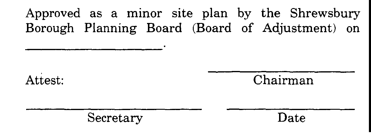
D. Certification. In the event that the application for development for a minor site plan is approved, a certification to that effect in the following form shall be endorsed on the site plan and the original reproducible thereof shall be provided to the Planning Board by the applicant. Said original shall be signed by the Chairman and Secretary of the municipal agency after they receive certification from the administrative officer (Planning Board or Board of Adjustment Secretary) that all conditions of approval have been satisfied. After signature, the site plan shall be reproduced as provided for in § 94-6.4G of this chapter, and the signed original shall be returned to the applicant.